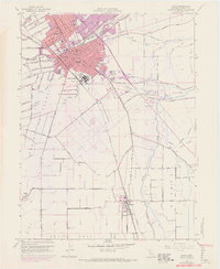
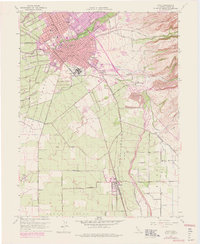
1948 Map of Chico
USGS Topo · Published 1971About this map
Chico serves as the primary urban center for this mid-century survey, showcasing a dense grid of streets and institutional landmarks including Chico State College and the Diamond Match Factory. The town's layout is defined by the winding course of Big Chico Creek and the expansive Bidwell Park, which provides a natural corridor through the residential blocks. To the south, the landscape transitions into an agricultural and industrial plain, marked by the presence of Barber, Chapmantown, and the railroad hub at Stirling Junction.
Find a feature on this map
73 named features on this map. Tap any name to fly to it.
Don’t see what you’re looking for? This feature index may not catch every label — zoom into the map to look around manually.
Map Details
Editions of this 1948 Chico Map
5 editions found
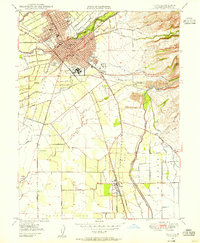
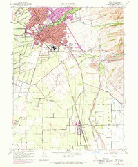
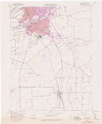
Other maps of this area

1891 · Chico
USGS Topo · 1:125,000

1893 · Chico
USGS Topo · 1:125,000

1895 · Chico
USGS Topo · 1:125,000

1912 · Dry Creek
USGS Topo · 1:31,680

1912 · Durham
USGS Topo · 1:31,680

1912 · Nord
USGS Topo · 1:31,680

1912 · Chico Landing
USGS Topo · 1:31,680

1912 · Nelson
USGS Topo · 1:31,680

1912 · Keefers
USGS Topo · 1:31,680

1912 · Clear Creek
USGS Topo · 1:31,680