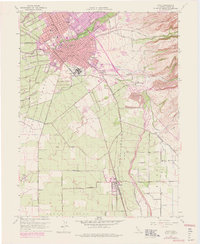
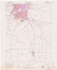
1948 Map of Chico
USGS Topo · Published 1978About this map
Chico serves as the focal point of this 1948 topographic survey, with later revisions tracking the town's expansion toward Chapmantown and Barber. The industrial footprint is anchored by the Diamond Match Factory, a massive facility that shaped the local economy. Education and research are prominent, shown through the grounds of Chico State College and the specialized US Dept of Agriculture Plant Introduction Garden.
Find a feature on this map
34 named features on this map. Tap any name to fly to it.
Don’t see what you’re looking for? This feature index may not catch every label — zoom into the map to look around manually.
Map Details
Editions of this 1948 Chico Map
5 editions found
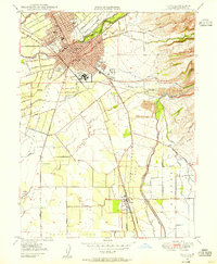
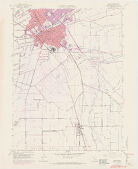
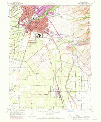
Other maps of this area

1891 · Chico
USGS Topo · 1:125,000

1893 · Chico
USGS Topo · 1:125,000

1895 · Chico
USGS Topo · 1:125,000

1912 · Dry Creek
USGS Topo · 1:31,680

1912 · Durham
USGS Topo · 1:31,680

1912 · Nord
USGS Topo · 1:31,680

1912 · Chico Landing
USGS Topo · 1:31,680

1912 · Nelson
USGS Topo · 1:31,680

1912 · Keefers
USGS Topo · 1:31,680

1912 · Clear Creek
USGS Topo · 1:31,680