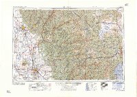
1960 Map of Chico
USGS Topo · Published 1960About this map
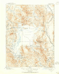
Sierra Nevada peaks and deep river canyons dominate this mid-century survey, which reveals the complex water-management and mining infrastructure of Northern California. The high country is defined by the Plumas National Forest, Tahoe National Forest, and Eldorado National Forest, where a network of reservoirs including French Meadows Reservoir, Hell Hole Reservoir, and Stampede Reservoir capture runoff for the valley below. In the Mother Lode region, the enduring legacy of the gold rush is evident in the cluster of major operations around Grass Valley and Nevada City, specifically the Empire Mine, North Star Mine, and Idaho-Maryland Mine.
Find a feature on this map
404 named features on this map. Tap any name to fly to it.
Don’t see what you’re looking for? This feature index may not catch every label — zoom into the map to look around manually.
Map Details
Editions of this 1960 Chico Map
This is the sole edition of this map. No revisions or reprints were ever made.
Other maps of this area
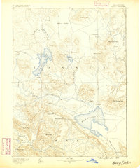
1886 · Honey Lake
USGS Topo · 1:250,000

1886 · Lassen Peak
USGS Topo · 1:250,000
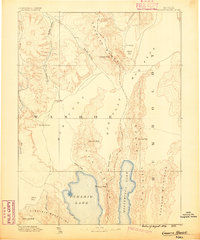
1886 · Granite Range
USGS Topo · 1:250,000

1888 · Marysville
USGS Topo · 1:125,000

1888 · Smartsville
USGS Topo · 1:125,000

1888 · Bidwell Bar
USGS Topo · 1:125,000

1889 · Pyramid Peak
USGS Topo · 1:125,000
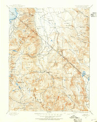
1889 · Markleeville
USGS Topo · 1:125,000

1890 · Red Bluff
USGS Topo · 1:250,000
1890 · Sierraville
USGS Topo · 1:125,000