Loading...
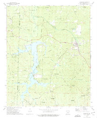
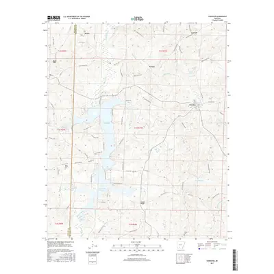
Loading map...1973 Map of Chidester
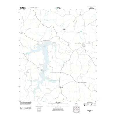
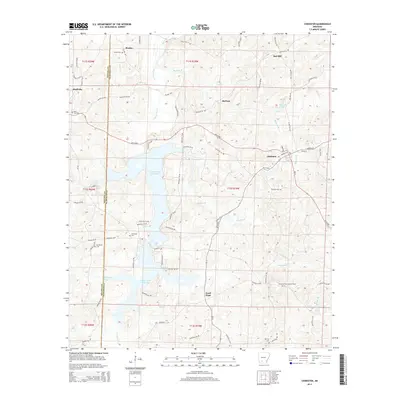
USGS Topo · Published 1975About this map
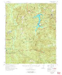
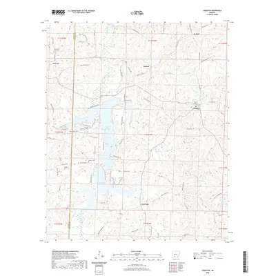
White Oak Lake dominates the central topography of this 1970s survey, bisected by the Nevada Co Ouachita Co line. The landscape is heavily defined by conservation and resource management, with Poison Springs State Forest and White Oak Lake State Park covering significant acreage. The settlement of Chidester sits along the Missouri Pacific railroad line, while smaller communities like Good Hope and Red Hill anchor the rural crossroads.
Find a feature on this map
36 named features on this map. Tap any name to fly to it.
Don’t see what you’re looking for? This feature index may not catch every label — zoom into the map to look around manually.
Map Details
Date Portrayed1973
Date Published1975
PublisherU.S. Geological Survey
Map TypeTopographic
Scale1:24,000
Physical Dimensions22 x 26.7 inches
Editions of this 1973 Chidester Map
This is the sole edition of this map. No revisions or reprints were ever made.
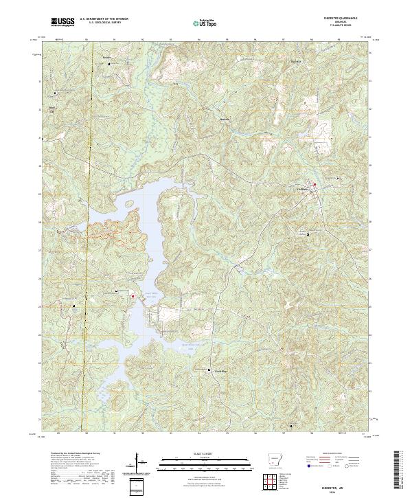
Historical Maps of Chidester Through Time
7 maps found
Featured Locations
Source Details
SourceU.S. Geological Survey
CopyrightPublic Domain