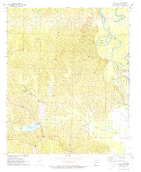
1971 Map of Bragg City
USGS Topo · Published 1973About this map
Poison Springs State Forest dominates the southwestern reaches of this Arkansas landscape, where the Missouri Pacific railroad cuts a diagonal path toward the settlement of Bragg City. The terrain is defined by the winding Ouachita River along the eastern boundary, which has carved out features like Old River Island and several oxbows including Moon Lake and Upper Old Brake. This area reflects a mid-century rural economy tied to the land, evidenced by a Claypit near the center of the sheet and a network of named tracks such as the Indian Trail and Schultz Trail. Genealogists will find significant value in the distribution of family and community landmarks, from the Capernaum Ch and Bell Chapel to several small burial grounds like Bragg Cem, Green Cem, and Tate Cem. The map provides a clear view of the water system, following the Ecore Fabre Bayou and its many tributaries as they drain toward the main river valley.
Find a feature on this map
34 named features on this map. Tap any name to fly to it.
Don’t see what you’re looking for? This feature index may not catch every label — zoom into the map to look around manually.
Map Details
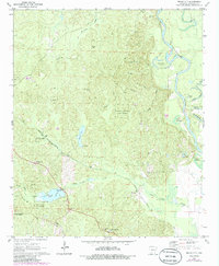
Editions of this 1971 Bragg City Map
2 editions found
Other maps of this area

1901 · Gurdon
USGS Topo · 1:125,000

1903 · Camden
USGS Topo · 1:125,000

1951 · Camden
USGS Topo · 1:24,000

1953 · El Dorado
USGS Topo · 1:250,000

1957 · El Dorado
USGS Topo · 1:250,000

1958 · El Dorado
USGS Topo · 1:250,000

1960 · El Dorado
USGS Topo · 1:250,000

1970 · Reader
USGS Topo · 1:24,000

1971 · Tates Bluff
USGS Topo · 1:24,000

1971 · Ouachita
USGS Topo · 1:24,000