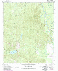
1971 Map of Bragg City
USGS Topo · Published 1986About this map
Poison Springs State Forest dominates the central landscape of this Ouachita County region, where the terrain transitions from dense woodlands to the meandering course of the Ouachita River. Small rural settlements and family landmarks define the area, including Bragg City and the rail junction at Lester Junction. The map records a series of country churches such as Capernaum Ch and Bell Chapel, alongside the Bragg Cem and Green Cem, providing essential points of reference for local family history. The Missouri Pacific railroad cuts a diagonal path across the territory, crossing the Bragg Mill Creek and Missouri Pacific Bayou Ecore Fabre. The riverfront is characterized by dynamic water features like Old River Island and several oxbows including Upper Old Brake and Lower Old Brake, reflecting the shifting nature of the local hydrology before modern channelization.
Find a feature on this map
36 named features on this map. Tap any name to fly to it.
Don’t see what you’re looking for? This feature index may not catch every label — zoom into the map to look around manually.
Map Details
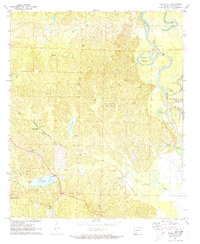
Editions of this 1971 Bragg City Map
2 editions found
Other maps of this area

1901 · Gurdon
USGS Topo · 1:125,000

1903 · Camden
USGS Topo · 1:125,000

1951 · Camden
USGS Topo · 1:24,000

1953 · El Dorado
USGS Topo · 1:250,000

1957 · El Dorado
USGS Topo · 1:250,000

1958 · El Dorado
USGS Topo · 1:250,000

1960 · El Dorado
USGS Topo · 1:250,000

1970 · Reader
USGS Topo · 1:24,000

1971 · Tates Bluff
USGS Topo · 1:24,000

1971 · Ouachita
USGS Topo · 1:24,000