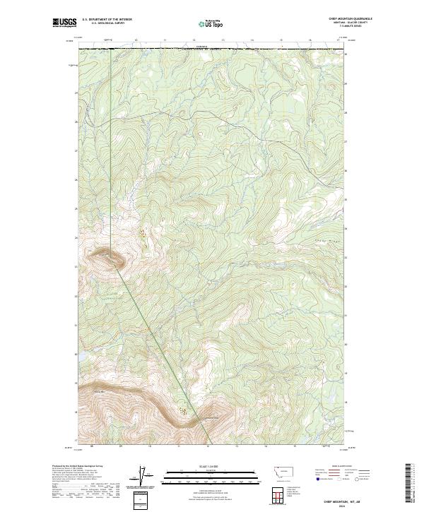
2024 Map of Chief Mountain
USGS Topo · Published 2024About this map
Glacier National Park defines the western half of this quadrangle, where the boundary between the United States and Canada marks the northern edge of the landscape. The terrain is dominated by prominent summits and ridges, most notably Chief Mtn and Sherburne Peak, which provide significant orientation points along the eastern front of the Rockies. The hydrology is characterized by numerous headwater streams, including Kennedy Creek and Otatso Creek, flowing eastward from the high peaks toward the plains.
Find a feature on this map
25 named features on this map. Tap any name to fly to it.
Don’t see what you’re looking for? This feature index may not catch every label — zoom into the map to look around manually.
Map Details
Editions of this 2024 Chief Mountain Map
This is the sole edition of this map. No revisions or reprints were ever made.
Other maps of this area

1901 · Browning
USGS Topo · 1:125,000

1903 · Browning
USGS Topo · 1:125,000

1904 · Chief Mountain
USGS Topo · 1:125,000

1938 · Chief Mountain
USGS Topo · 1:125,000

1960 · Cut Bank
USGS Topo · 1:250,000

1963 · Cut Bank
USGS Topo · 1:250,000

1964 · Cut Bank
USGS Topo · 1:250,000

1968 · Gable Mountain
USGS Topo · 1:24,000

1968 · Babb
USGS Topo · 1:24,000
1968 · Chief Mountain
USGS Topo · 1:24,000