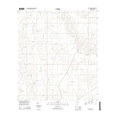
2015 Map of Chiefland SW
USGS Topo · Published 2015About this map
Gopher Ridge rises above the marshy lowlands of southern Levy County in this 2015 study, revealing a landscape defined by industrial timber tracks and rural county roads. The network is dominated by the Usher Mainline, a significant logging corridor that cuts north-to-south through the townships. This infrastructure supports a patchwork of managed forest and wetlands, where small named creeks like Kelly Creek drain toward the Gulf. The naming conventions of the local roads, such as Pig Eye Rd, Maple Camp Rd, and Little Green House Rd, suggest a history of specific land uses and vernacular landmarks that survived into the 21st century. While modern in its data, the map preserves the traditional grid of the Public Land Survey System, showing the transition from the upland ridges down toward the tidal influences of Tiger Island Rd.
Find a feature on this map
68 named features on this map. Tap any name to fly to it.
Don’t see what you’re looking for? This feature index may not catch every label — zoom into the map to look around manually.
Map Details
Editions of this 2015 Chiefland SW Map
This is the sole edition of this map. No revisions or reprints were ever made.
Other maps of this area

1954 · Chiefland
USGS Topo · 1:24,000

1954 · Otter Creek
USGS Topo · 1:24,000

1954 · Manatee Springs
USGS Topo · 1:24,000

1954 · Chiefland SW
USGS Topo · 1:24,000

1954 · Vista
USGS Topo · 1:24,000

1954 · East Pass
USGS Topo · 1:24,000

1954 · Gainesville
USGS Topo · 1:250,000

1955 · Cedar Key
USGS Topo · 1:24,000

1955 · Waccasassa Bay
USGS Topo · 1:24,000

1955 · Sumner
USGS Topo · 1:24,000