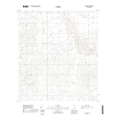
2018 Map of Chiefland SW
USGS Topo · Published 2018About this map
Gulf Hammock dominates this coastal lowland landscape of Levy County, characterized by a complex network of wetlands and logging roads. The terrain is marked by a distinctive grid of timber-industry infrastructure, where routes like the Usher Mainline, Nw Usher Mainline, and Nw Camp Grade pierce through the dense vegetation. These roads, along with names like Gopher Ridge Rd and Little Green House Rd, suggest the local vernacular of a working landscape. The hydrology is subtle, featuring the winding course of Kelly Cr and numerous unnamed tributaries that feed into the larger hammock system. To the east, the transition toward more established corridors is evident along Co Rd 345, providing a sense of the region's connectivity between remote cypress strands and the surrounding county road network.
Find a feature on this map
63 named features on this map. Tap any name to fly to it.
Don’t see what you’re looking for? This feature index may not catch every label — zoom into the map to look around manually.
Map Details
Editions of this 2018 Chiefland SW Map
This is the sole edition of this map. No revisions or reprints were ever made.
Other maps of this area

1954 · Chiefland
USGS Topo · 1:24,000

1954 · Otter Creek
USGS Topo · 1:24,000

1954 · Manatee Springs
USGS Topo · 1:24,000

1954 · Chiefland SW
USGS Topo · 1:24,000

1954 · Vista
USGS Topo · 1:24,000

1954 · East Pass
USGS Topo · 1:24,000

1954 · Gainesville
USGS Topo · 1:250,000

1955 · Cedar Key
USGS Topo · 1:24,000

1955 · Waccasassa Bay
USGS Topo · 1:24,000

1955 · Sumner
USGS Topo · 1:24,000