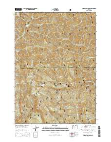
2014 Map of Chilcoot Mountain
USGS Topo · Published 2014About this map
Chilcoot Mountain and its surrounding ridgelines dominate this portion of the Umpqua National Forest along the border of Lane and Douglas Counties. The landscape is defined by its verticality, featuring prominent landmarks such as McKinley Rock, Lemon Butte, and the sheer Hipower Bluffs. A dense network of forest roads and timber-service trails, such as Chilly Worm TS and Circle Rdg Sharpspoon TS S, illustrates the active management of these timberlands. Water drains from these heights through numerous named forks, including N Fork Cedar Cr, S Fork Chilicoot Cr, and Steelhead Cr, eventually feeding into Steamboat Cr at the southern edge of the map. This survey serves as a detailed record of high-altitude forest infrastructure and the headwaters of the regional watershed.
Find a feature on this map
63 named features on this map. Tap any name to fly to it.
Don’t see what you’re looking for? This feature index may not catch every label — zoom into the map to look around manually.
Map Details
Editions of this 2014 Chilcoot Mountain Map
This is the sole edition of this map. No revisions or reprints were ever made.
Other maps of this area

1935 · Lowell
USGS Topo · 1:96,000

1942 · Lowell
USGS Topo · 1:125,000

1955 · Mace Mtn
USGS Topo · 1:62,500

1955 · Illahee Rock
USGS Topo · 1:62,500

1955 · Fairview Peak
USGS Topo · 1:62,500

1955 · Culp Creek
USGS Topo · 1:62,500

1958 · Roseburg
USGS Topo · 1:250,000

1959 · Roseburg
USGS Topo · 1:250,000

1978 · Diamond Lake
USGS Topo · 1:100,000

1983 · Oakridge
USGS Topo · 1:100,000