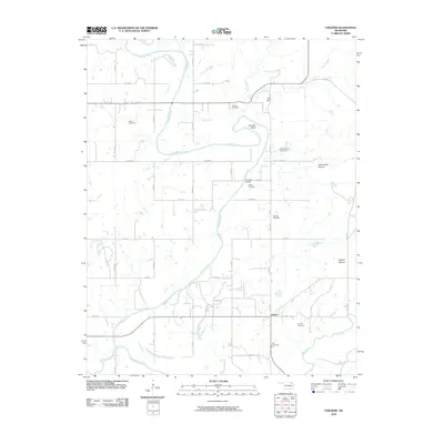
2010 Map of Childers
USGS Topo · Published 2010About this map
The Verdigris River snakes through the heart of this Nowata County landscape, creating a series of dramatic meanders such as Hancock Bend. This section of northeastern Oklahoma is characterized by its wide floodplains and distinctive elevated landforms, including Steamboat Mound and Rogers Mound. The settlement of Childers serves as a small hub for the surrounding agricultural community, which is connected by a grid of rural routes like e0170 RD and n4190 RD.
Find a feature on this map
44 named features on this map. Tap any name to fly to it.
Don’t see what you’re looking for? This feature index may not catch every label — zoom into the map to look around manually.
Map Details
Editions of this 2010 Childers Map
This is the sole edition of this map. No revisions or reprints were ever made.
Other maps of this area

1901 · Nowata
USGS Topo · 1:125,000

1901 · Vinita
USGS Topo · 1:125,000

1913 · Vinita
USGS Topo · 1:125,000

1914 · Nowata
USGS Topo · 1:125,000

1954 · Tulsa
USGS Topo · 1:250,000

1958 · Tulsa
USGS Topo · 1:250,000

1963 · Tulsa
USGS Topo · 1:250,000
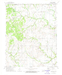
1972 · Elliott
USGS Topo · 1:24,000

1972 · Nowata West
USGS Topo · 1:24,000
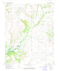
1972 · Sanders
USGS Topo · 1:24,000