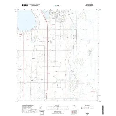
2018 Map of Childs
USGS Topo · Published 2018About this map
Archbold and the community of Hicoria anchor this modern survey of the South Florida interior. Situated along the prominent Lake Wales Ridge, the landscape transitions from the open waters of Lake Placid and Grassy Lake in the north to the wetlands of Bay Swamp in the southeast. The map reveals a mix of preserved ecological sites and scattered residential nodes like Childs and Bairs Den.
Find a feature on this map
94 named features on this map. Tap any name to fly to it.
Don’t see what you’re looking for? This feature index may not catch every label — zoom into the map to look around manually.
Map Details
Editions of this 2018 Childs Map
This is the sole edition of this map. No revisions or reprints were ever made.
Other maps of this area

1952 · Lake Placid
USGS Topo · 1:24,000

1953 · Brighton NW
USGS Topo · 1:24,000

1953 · Lake June In Winter
USGS Topo · 1:24,000

1953 · Brighton SW
USGS Topo · 1:24,000

1953 · Venus NW
USGS Topo · 1:24,000

1953 · Basinger SW
USGS Topo · 1:24,000

1953 · Childs
USGS Topo · 1:24,000

1956 · Fort Pierce
USGS Topo · 1:250,000

1957 · Venus
USGS Topo · 1:24,000

1957 · Venus SW
USGS Topo · 1:24,000