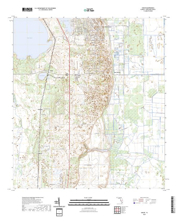
2024 Map of Childs
USGS Topo · Published 2024About this map
Lake Wales Ridge dominates the central topography of this Florida landscape, providing the elevated spine that defines the local geography. To the west, the deep waters of Lake Placid and the smaller Lake Annie sit alongside established settlements like Childs and Archbold. The map illustrates a clear transition between the developed residential grids in the north, featuring creatively named streets like Phantasy Ave and Dreamland Dr, and the more open, natural terrain of the south and east.
Find a feature on this map
96 named features on this map. Tap any name to fly to it.
Don’t see what you’re looking for? This feature index may not catch every label — zoom into the map to look around manually.
Map Details
Editions of this 2024 Childs Map
This is the sole edition of this map. No revisions or reprints were ever made.
Other maps of this area

1952 · Lake Placid
USGS Topo · 1:24,000

1953 · Brighton NW
USGS Topo · 1:24,000

1953 · Lake June In Winter
USGS Topo · 1:24,000

1953 · Brighton SW
USGS Topo · 1:24,000

1953 · Venus NW
USGS Topo · 1:24,000

1953 · Basinger SW
USGS Topo · 1:24,000

1953 · Childs
USGS Topo · 1:24,000

1956 · Fort Pierce
USGS Topo · 1:250,000

1957 · Venus
USGS Topo · 1:24,000

1957 · Venus SW
USGS Topo · 1:24,000