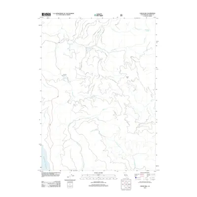
2012 Map of Childs Hill
USGS Topo · Published 2012About this map
Childs Hill rises as a prominent landmark in this corner of Del Norte County, where a complex network of forest roads and spurs provides access to the coastal drainages. The landscape is defined by the convergence of several major watercourses, including Wilson Cr and the various branches of Mill Creek, such as E Fork Mill Cr and W Br Mill Cr. These waterways carve through the terrain before reaching the Pacific Ocean, which borders the southwestern edge of the quadrangle.
Find a feature on this map
42 named features on this map. Tap any name to fly to it.
Don’t see what you’re looking for? This feature index may not catch every label — zoom into the map to look around manually.
Map Details
Editions of this 2012 Childs Hill Map
This is the sole edition of this map. No revisions or reprints were ever made.
Other maps of this area

1922 · Preston Peak
USGS Topo · 1:125,000

1929 · Crescent City
USGS Topo · 1:125,000

1945 · Ship Mountain
USGS Topo · 1:62,500

1945 · Gasquet
USGS Topo · 1:62,500

1945 · Point St. George
USGS Topo · 1:62,500

1945 · Requa
USGS Topo · 1:62,500

1948 · Weed
USGS Topo · 1:250,000

1949 · Eureka
USGS Topo · 1:250,000

1950 · Weed
USGS Topo · 1:250,000

1951 · Gasquet
USGS Topo · 1:62,500