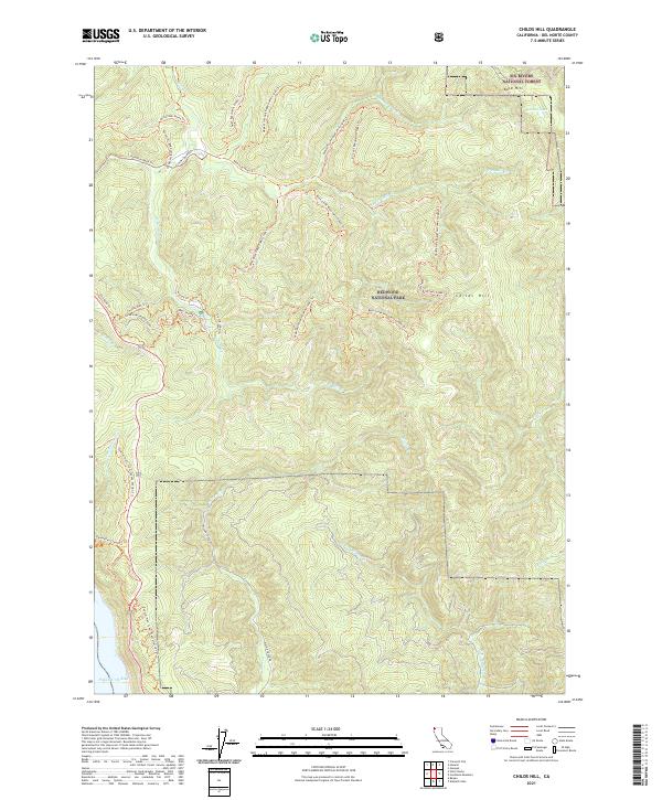
2021 Map of Childs Hill
USGS Topo · Published 2021About this map
Redwood National Park and Six Rivers National Forest dominate this landscape, where the Smith Wild and Scenic River carves through the coastal terrain. The region's history of resource management and conservation is visible in the dense network of forestry and access routes, such as West Branch Road (Mill Creek) Trl and Bummer Lake Road (Mill Creek) Trl. Along the rugged western edge, the Pacific Ocean meets the coastline at the Coastal Trail - Last Chance Section Trl.
Find a feature on this map
40 named features on this map. Tap any name to fly to it.
Don’t see what you’re looking for? This feature index may not catch every label — zoom into the map to look around manually.
Map Details
Editions of this 2021 Childs Hill Map
This is the sole edition of this map. No revisions or reprints were ever made.
Other maps of this area

1922 · Preston Peak
USGS Topo · 1:125,000

1929 · Crescent City
USGS Topo · 1:125,000

1945 · Ship Mountain
USGS Topo · 1:62,500

1945 · Gasquet
USGS Topo · 1:62,500

1945 · Point St. George
USGS Topo · 1:62,500

1945 · Requa
USGS Topo · 1:62,500

1948 · Weed
USGS Topo · 1:250,000

1949 · Eureka
USGS Topo · 1:250,000

1950 · Weed
USGS Topo · 1:250,000

1951 · Gasquet
USGS Topo · 1:62,500