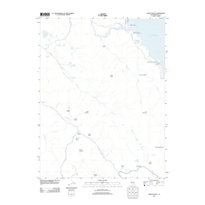
2012 Map of Chiles Valley
USGS Topo · Published 2012About this map
Chiles Grist Mill and the Nichelini Winery anchor the southern reaches of this Napa County landscape, where the agricultural legacy of Chiles Valley is meticulously detailed. The terrain is defined by a series of narrow valleys and high ridges, including Trout Creek Ridge and the Cedar Roughs wilderness, separated by drainage systems like Hardin Cr and Soda Cr.
Find a feature on this map
39 named features on this map. Tap any name to fly to it.
Don’t see what you’re looking for? This feature index may not catch every label — zoom into the map to look around manually.
Map Details
Editions of this 2012 Chiles Valley Map
This is the sole edition of this map. No revisions or reprints were ever made.
Other maps of this area

1902 · Napa
USGS Topo · 1:125,000

1921 · Mt. Vaca
USGS Topo · 1:62,500

1924 · Capay
USGS Topo · 1:62,500

1942 · Sonoma
USGS Topo · 1:62,500

1942 · Mt. Vaca
USGS Topo · 1:62,500

1942 · St. Helena
USGS Topo · 1:62,500

1943 · Capay
USGS Topo · 1:62,500

1945 · Capay
USGS Topo · 1:62,500

1945 · St. Helena
USGS Topo · 1:62,500

1947 · Santa Rosa
USGS Topo · 1:250,000