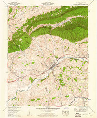
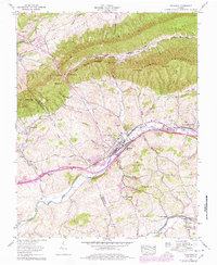
1958 Map of Chilhowie
USGS Topo · Published 1960About this map
Chilhowie serves as the primary hub of this Southwest Virginia landscape, situated where the Middle Fork Holston River winds through the valley. The town's mid-century layout is clearly defined, featuring an Athletic field and the Chilhowie Beacon, while the Norfolk and Western railroad and the Lee Highway parallel the river's course, marking the region's vital transportation corridor. The topography is dominated by the massive ridges of Walker Mountain and Rich Mountain, which separate the river valley from northern settlements like Saltville.
Find a feature on this map
65 named features on this map. Tap any name to fly to it.
Don’t see what you’re looking for? This feature index may not catch every label — zoom into the map to look around manually.
Map Details
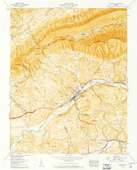
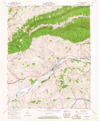
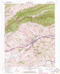
Editions of this 1958 Chilhowie Map
5 editions found
Other maps of this area

1891 · Abingdon
USGS Topo · 1:125,000

1894 · Abingdon
USGS Topo · 1:125,000

1909 · Abingdon
USGS Topo · 1:96,000

1911 · Abingdon
USGS Topo · 1:125,000
1934 · Chatham Hill
USGS Topo · 1:24,000

1935 · Konnarock
USGS Topo · 1:24,000

1935 · Chilhowie
USGS Topo · 1:24,000
1935 · Maccrady
USGS Topo · 1:24,000

1935 · Mount Rogers
USGS Topo · 1:48,000
1935 · Saltville
USGS Topo · 1:24,000