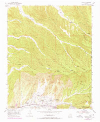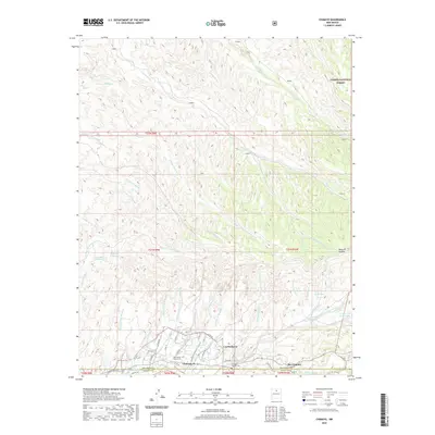
1994 Map of Chimayo
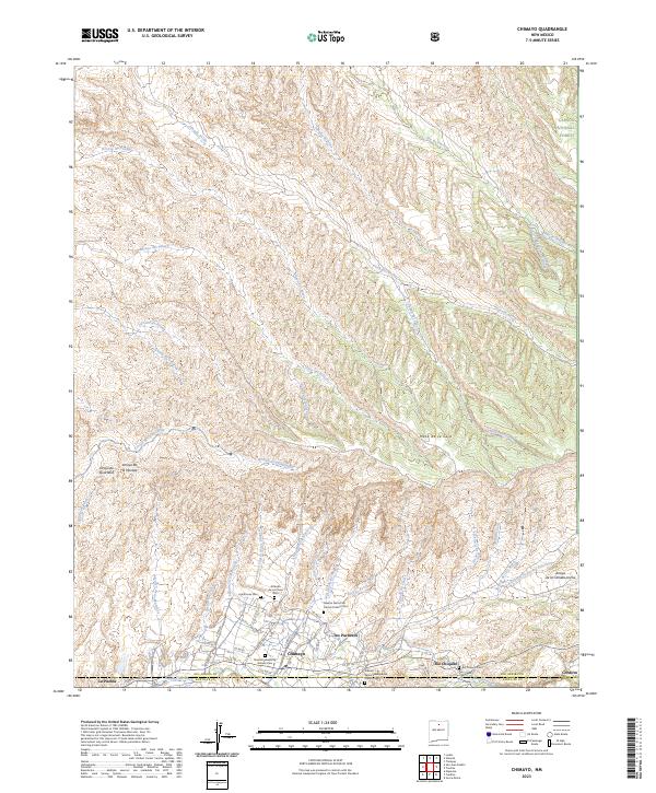
USGS Topo · Published 1998About this map
The Santa Cruz Grant and Sebastian Martin Grant territories converge here, revealing a landscape defined by traditional land use and drainage patterns in northern New Mexico. The Santa Cruz River and Rio Chiquito support the settlements of Chimayo and Los Pachecos, where the Santa Cruz Ditch suggests the intricate irrigation history of the valley. To the north, the terrain rises into the Carson National Forest, characterized by numerous deeply carved canyons such as Cañada Ancha and Cañada del Pueblo. Evidence of long-standing occupation is found at the Pueblo Ruins, while local spiritual life is centered at the Capilla de Santa Rita. The geography is further marked by high points like the Mesa de la Ceja and small outposts such as El Llanito Blanco, illustrating the enduring nature of these highland communities.
Find a feature on this map
52 named features on this map. Tap any name to fly to it.
Don’t see what you’re looking for? This feature index may not catch every label — zoom into the map to look around manually.
Map Details
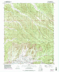
Editions of this 1994 Chimayo Map
This is the sole edition of this map. No revisions or reprints were ever made.
Historical Maps of Chimayo Through Time
7 maps found