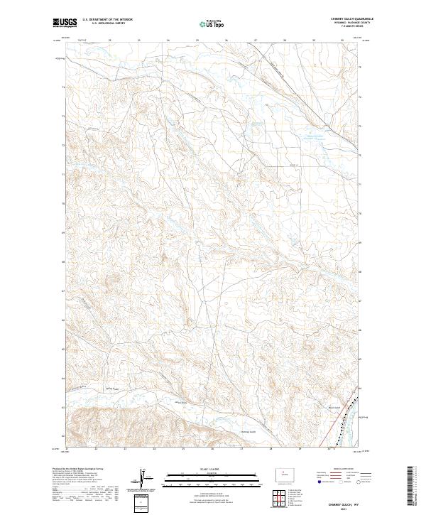
2021 Map of Chimney Gulch
USGS Topo · Published 2021About this map
Gooseberry Cr and its various forks carve through the arid high plains of Washakie County, defining a landscape of complex drainage systems and water management. This area is characterized by deep erosional features like Chimney Gulch, Lester Draw, and Down Gulch, which channel seasonal runoff toward the eastern edge of the map. Near the southeastern corner, the Bighorn River and the engineered Bluff Canal represent the vital water sources for the region's agricultural and ranching operations.
Find a feature on this map
26 named features on this map. Tap any name to fly to it.
Don’t see what you’re looking for? This feature index may not catch every label — zoom into the map to look around manually.
Map Details
Editions of this 2021 Chimney Gulch Map
This is the sole edition of this map. No revisions or reprints were ever made.
Other maps of this area

1914 · Blue Mesa
USGS Topo · 1:62,500

1916 · Blue Mesa
USGS Topo · 1:62,500

1945 · Kirby
USGS Topo · 1:62,500

1946 · Kirby
USGS Topo · 1:62,500

1951 · Dutch Nick Flat
USGS Topo · 1:24,000

1951 · Schuster Flats
USGS Topo · 1:24,000

1951 · Schuster Flats SE
USGS Topo · 1:24,000

1955 · Cody
USGS Topo · 1:250,000

1955 · Thermopolis
USGS Topo · 1:250,000

1958 · Cody
USGS Topo · 1:250,000