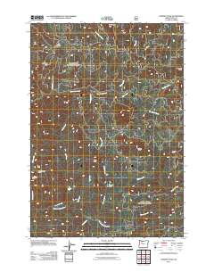
2011 Map of Chimney Peak
USGS Topo · Published 2011About this map
Little Meadows and the surrounding high-country drainages of the Willamette National Forest are documented in this 2011 survey of the Linn County backcountry. The landscape is defined by the convergence of steep canyon waters, notably where Freezeout Creek and Butte Creek feed into the prominent Quartzville Creek. Further south, the terrain rises toward significant high points like Chimney Peak and Gordan Peak, providing a clear look at the drainage basins of the Middle Santiam River system.
Find a feature on this map
30 named features on this map. Tap any name to fly to it.
Don’t see what you’re looking for? This feature index may not catch every label — zoom into the map to look around manually.
Map Details
Editions of this 2011 Chimney Peak Map
This is the sole edition of this map. No revisions or reprints were ever made.
Other maps of this area

1929 · Mill City
USGS Topo · 1:125,000

1934 · Mc Kenzie Bridge
USGS Topo · 1:96,000

1940 · Mc Kenzie Bridge
USGS Topo · 1:125,000

1953 · Salem
USGS Topo · 1:250,000

1954 · Salem
USGS Topo · 1:250,000

1955 · Cascadia
USGS Topo · 1:62,500

1955 · Echo Mountain
USGS Topo · 1:62,500

1956 · Quartzville
USGS Topo · 1:62,500

1956 · Detroit
USGS Topo · 1:62,500

1960 · Salem
USGS Topo · 1:250,000