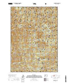
2020 Map of Chimney Peak
USGS Topo · Published 2020About this map
The Middle Santiam River flows through the southern portion of this landscape, deeply integrated into the protected acreage of the Willamette National Forest. High-elevation landmarks define the central and northern terrain, including the prominent Chimney Peak, Swamp Peak, and Gordan Peak. Small basins and water features are scattered throughout the drainages, notably Donaca Lake and the cascade at McNabb Falls. The presence of several "PB" or protraction block boundaries indicates areas where standard public land surveys were not completed before the creation of the forest reserve. This 2020 map documents the topography and drainage networks of a region characterized by dramatic relief and named landmarks such as Knob Rock and the clearing at Little Meadows. Numerous creeks like Quartzville Cr and Box Canyon Cr feed into the primary river systems, illustrating the complex hydrography of the Cascades.
Find a feature on this map
58 named features on this map. Tap any name to fly to it.
Don’t see what you’re looking for? This feature index may not catch every label — zoom into the map to look around manually.
Map Details
Editions of this 2020 Chimney Peak Map
This is the sole edition of this map. No revisions or reprints were ever made.
Other maps of this area

1929 · Mill City
USGS Topo · 1:125,000

1934 · Mc Kenzie Bridge
USGS Topo · 1:96,000

1940 · Mc Kenzie Bridge
USGS Topo · 1:125,000

1953 · Salem
USGS Topo · 1:250,000

1954 · Salem
USGS Topo · 1:250,000

1955 · Cascadia
USGS Topo · 1:62,500

1955 · Echo Mountain
USGS Topo · 1:62,500

1956 · Quartzville
USGS Topo · 1:62,500

1956 · Detroit
USGS Topo · 1:62,500

1960 · Salem
USGS Topo · 1:250,000