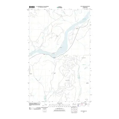
2011 Map of China Bend
USGS Topo · Published 2011About this map
Franklin D Roosevelt Lake, formed by the impoundment of the Columbia River, dominates this section of Stevens County. The river corridor is flanked by notable geological and historical markers, including the alluvial deposits of China Bar and Grafitti Bar. Small settlements like Marble and Ryan serve as anchors along the primary transit routes, while the interior is defined by significant elevations such as Lookout Mountain and O'Toole Mountain.
Find a feature on this map
32 named features on this map. Tap any name to fly to it.
Don’t see what you’re looking for? This feature index may not catch every label — zoom into the map to look around manually.
Map Details
Editions of this 2011 China Bend Map
This is the sole edition of this map. No revisions or reprints were ever made.
Other maps of this area

1929 · Colville
USGS Topo · 1:125,000

1933 · Colville
USGS Topo · 1:125,000

1936 · Marcus
USGS Topo · 1:96,000

1942 · Marcus
USGS Topo · 1:125,000

1948 · Kettle Falls
USGS Topo · 1:62,500

1948 · Orient
USGS Topo · 1:62,500

1951 · Orient
USGS Topo · 1:62,500

1951 · Kettle Falls
USGS Topo · 1:62,500

1952 · Gillette Mtn
USGS Topo · 1:24,000

1952 · Echo Valley
USGS Topo · 1:24,000