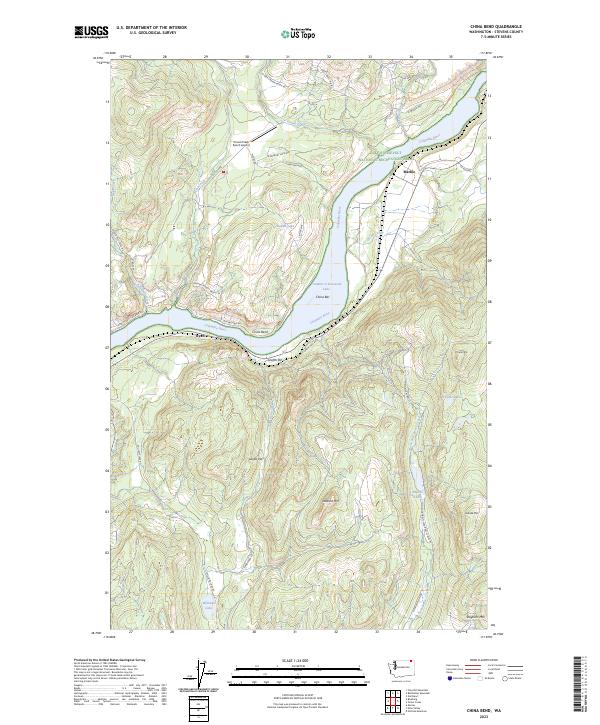
2023 Map of China Bend
USGS Topo · Published 2023About this map
Franklin D Roosevelt Lake dominates this stretch of the Columbia River in Stevens County, where the waterway makes a sharp southward turn known as China Bend. This geography created a series of distinct riverside features such as China Bar and Graffiti Bar, which reflect the historical riverine activity in the region. To the north, the small settlement of Marble sits near the riverbank, while the hamlet of Ryan is positioned further downstream.
Find a feature on this map
49 named features on this map. Tap any name to fly to it.
Don’t see what you’re looking for? This feature index may not catch every label — zoom into the map to look around manually.
Map Details
Editions of this 2023 China Bend Map
This is the sole edition of this map. No revisions or reprints were ever made.
Other maps of this area

1929 · Colville
USGS Topo · 1:125,000

1933 · Colville
USGS Topo · 1:125,000

1936 · Marcus
USGS Topo · 1:96,000

1942 · Marcus
USGS Topo · 1:125,000

1948 · Kettle Falls
USGS Topo · 1:62,500

1948 · Orient
USGS Topo · 1:62,500

1951 · Orient
USGS Topo · 1:62,500

1951 · Kettle Falls
USGS Topo · 1:62,500

1952 · Gillette Mtn
USGS Topo · 1:24,000

1952 · Echo Valley
USGS Topo · 1:24,000