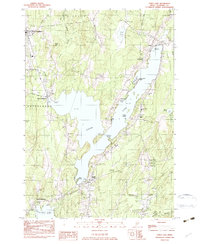
1983 Map of China Lake
USGS Topo · Published 1983About this map
The expansive waters of China Lake dominate this central Maine landscape, which illustrates a transitional period of rural development in the early 1980s. The map details several distinct villages that grew around the water bodies, including North Vassalboro, East Vassalboro, and South Vassalboro along the western edge, and the communities of China and South China to the east. These settlements are linked by a network of established local routes like Getchell Corner Rd and Bond Road, reflecting the area's history as a collection of interconnected hamlets.
Find a feature on this map
56 named features on this map. Tap any name to fly to it.
Don’t see what you’re looking for? This feature index may not catch every label — zoom into the map to look around manually.
Map Details
Editions of this 1983 China Lake Map
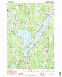
2 editions found
Other maps of this area

1892 · Waterville
USGS Topo · 1:62,500

1893 · Vassalboro
USGS Topo · 1:62,500

1898 · Vassalboro
USGS Topo · 1:62,500

1916 · Liberty
USGS Topo · 1:62,500

1926 · Burnham
USGS Topo · 1:62,500

1941 · Vassalboro
USGS Topo · 1:62,500

1942 · Liberty
USGS Topo · 1:62,500

1943 · Vassalboro
USGS Topo · 1:62,500

1943 · Waterville
USGS Topo · 1:62,500

1948 · Bangor
USGS Topo · 1:250,000