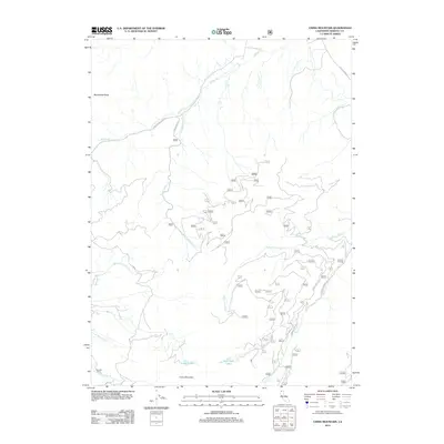
2012 Map of China Mountain
USGS Topo · Published 2012About this map
China Mountain dominates this Siskiyou County landscape, where high-elevation hydrology feeds the headwaters of numerous drainages. The area is defined by its complex network of seasonal and perennial waters, including Crater Lake and West Park Lakes, which give rise to W Fork Parks Cr and Parks Cr. Evidence of early access and industry remains visible through the naming of Dewey Mine Rd and the presence of Houston Cabin near the banks of Houston Cr. These features, alongside the prominent Mallethead Rock, speak to a history of mountain transit and localized resource extraction.
Find a feature on this map
19 named features on this map. Tap any name to fly to it.
Don’t see what you’re looking for? This feature index may not catch every label — zoom into the map to look around manually.
Map Details
Editions of this 2012 China Mountain Map
This is the sole edition of this map. No revisions or reprints were ever made.
Other maps of this area
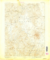
1886 · Shasta
USGS Topo · 1:250,000
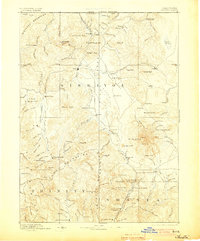
1894 · Shasta
USGS Topo · 1:250,000
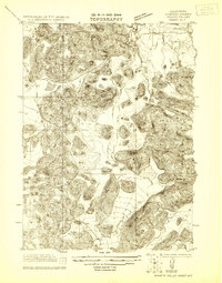
1921 · Shasta Valley Sheet No 7
USGS Topo · 1:24,000
1921 · Shasta Valley Sheet No 1
USGS Topo · 1:24,000
1922 · Shasta Valley Sheet No 1 S
USGS Topo · 1:24,000
1922 · Shasta Valley Sheet No 8
USGS Topo · 1:24,000
1923 · Sawyers Bar
USGS Topo · 1:125,000
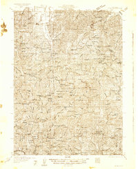
1931 · Etna
USGS Topo · 1:96,000
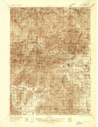
1932 · Yreka
USGS Topo · 1:96,000
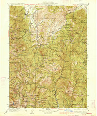
1934 · Etna
USGS Topo · 1:125,000