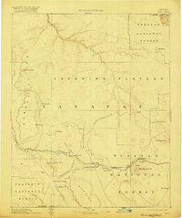
1891 Map of Chino
USGS Topo · Published 1920About this map
The Coconino Plateau and the Aubrey Cliffs dominate this late-nineteenth-century landscape, capturing a moment when transportation routes were transitioning from animal-drawn wagons to steam power. The historic Beale Wagon road cuts across the upper plateau, while the Atlantic and Pacific RR runs through the lower elevations, connecting critical stops like Ash Fork and Williams. This survey, based on topography by the Powell and USGS teams, details the essential water infrastructure of the arid West, from the Kerlin Well to the Wagathile Tank.
Find a feature on this map
41 named features on this map. Tap any name to fly to it.
Don’t see what you’re looking for? This feature index may not catch every label — zoom into the map to look around manually.
Map Details
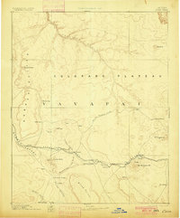
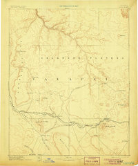
Editions of this 1891 Chino Map
4 editions found
Other maps of this area

1886 · Diamond Creek
USGS Topo · 1:250,000

1886 · San Francisco Mtns
USGS Topo · 1:250,000

1886 · Mt. Trumbull
USGS Topo · 1:250,000

1886 · Chino
USGS Topo · 1:250,000

1886 · Echo Cliffs
USGS Topo · 1:250,000

1886 · Kaibab
USGS Topo · 1:250,000

1887 · Verde
USGS Topo · 1:250,000

1887 · Prescott
USGS Topo · 1:250,000

1891 · San Francisco Mtns
USGS Topo · 1:250,000

1891 · Chino
USGS Topo · 1:250,000