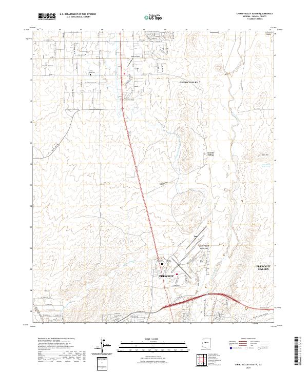
2021 Map of Chino Valley South
USGS Topo · Published 2021About this map
The northern edge of Prescott and the expanding footprint of Chino Valley converge in this high-desert basin of Yavapai County. The landscape is defined by the hydrologic contrast of the Chino Valley Irrigation Ditch and the natural drainage of Granite Creek as they move through the Little Chino Valley. This 2021 survey reveals a complex network of ranch roads and newer residential streets, alongside infrastructure like the Prescott Regional Airport - Ernest A Love Field.
Find a feature on this map
98 named features on this map. Tap any name to fly to it.
Don’t see what you’re looking for? This feature index may not catch every label — zoom into the map to look around manually.
Map Details
Editions of this 2021 Chino Valley South Map
This is the sole edition of this map. No revisions or reprints were ever made.
Other maps of this area

1887 · Prescott
USGS Topo · 1:250,000

1892 · Prescott
USGS Topo · 1:250,000

1905 · Jerome
USGS Topo · 1:125,000

1947 · Simmons
USGS Topo · 1:62,500

1947 · Iron Springs
USGS Topo · 1:62,500

1947 · Paulden
USGS Topo · 1:62,500

1947 · Prescott
USGS Topo · 1:62,500

1948 · Iron Springs
USGS Topo · 1:63,360

1948 · Prescott
USGS Topo · 1:62,500

1948 · Simmons
USGS Topo · 1:63,360