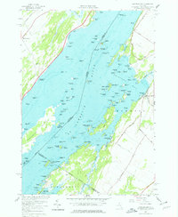
1958 Map of Chippewa Bay
USGS Topo · Published 1979About this map
The St Lawrence River serves as the international boundary on this late 1950s survey, dividing Ontario from New York. This riverine landscape is defined by a dense archipelago of islands including Big Island, Griswold Island, and Jorstadt Island, many marked with lights for navigation. Along the New York shore, the community of Chippewa Bay sits at the terminus of Cook Road, while the Canadian side features Mallorytown and Mallorytown Landing.
Find a feature on this map
130 named features on this map. Tap any name to fly to it.
Don’t see what you’re looking for? This feature index may not catch every label — zoom into the map to look around manually.
Map Details
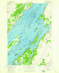
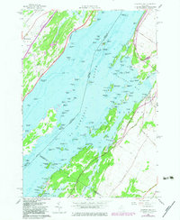
Editions of this 1958 Chippewa Bay Map
3 editions found
Other maps of this area

1903 · Alexandria Bay
USGS Topo · 1:62,500

1906 · Brier Hill
USGS Topo · 1:62,500

1912 · Hammond
USGS Topo · 1:62,500

1942 · Morristown
USGS Topo · 1:24,000

1943 · Morristown
USGS Topo · 1:31,680

1943 · Redwood
USGS Topo · 1:31,680

1943 · Alexandria Bay
USGS Topo · 1:31,680

1944 · Hammond
USGS Topo · 1:62,500

1948 · Chippewa Bay
USGS Topo · 1:24,000

1948 · Alexandria Bay
USGS Topo · 1:62,500