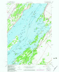
1958 Map of Chippewa Bay
USGS Topo · Published 1983About this map
The St Lawrence River defines this landscape along the international border, where the labyrinthine channels of the Thousand Islands meet the New York mainland. In the late 1950s, the area retained a character defined by seasonal travel and waterborne commerce, visible in the cluster of small islands like Patterson Point, Indian Chief Islands, and Cedar Island State Park. The transition from river to rail is preserved here in the Old Railroad Grade running parallel to the shoreline near Chippewa Bay.
Find a feature on this map
126 named features on this map. Tap any name to fly to it.
Don’t see what you’re looking for? This feature index may not catch every label — zoom into the map to look around manually.
Map Details
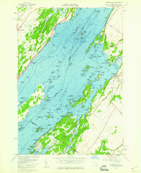
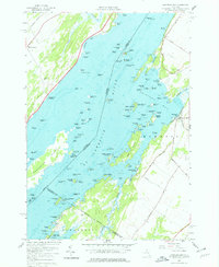
Editions of this 1958 Chippewa Bay Map
3 editions found
Other maps of this area

1903 · Alexandria Bay
USGS Topo · 1:62,500

1906 · Brier Hill
USGS Topo · 1:62,500

1912 · Hammond
USGS Topo · 1:62,500

1942 · Morristown
USGS Topo · 1:24,000

1943 · Morristown
USGS Topo · 1:31,680

1943 · Redwood
USGS Topo · 1:31,680

1943 · Alexandria Bay
USGS Topo · 1:31,680

1944 · Hammond
USGS Topo · 1:62,500

1948 · Chippewa Bay
USGS Topo · 1:24,000

1948 · Alexandria Bay
USGS Topo · 1:62,500