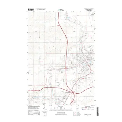
2015 Map of Chippewa Falls
USGS Topo · Published 2015About this map
Chippewa Falls sits at the heart of this survey, where the Chippewa River meets Duncan Creek. The 2015 landscape reveals a complex network of water management and industrial history, from the Tilden Millpond in the north to the Glen Loch Flowage and Chippewa Falls Flowage closer to the city center. The river's path is marked by features like Gravel Island and the expansive Lake Hallie to the south.
Find a feature on this map
111 named features on this map. Tap any name to fly to it.
Don’t see what you’re looking for? This feature index may not catch every label — zoom into the map to look around manually.
Map Details
Editions of this 2015 Chippewa Falls Map
This is the sole edition of this map. No revisions or reprints were ever made.
Other maps of this area

1934 · Elk Mound
USGS Topo · 1:62,500

1934 · Chippewa Falls
USGS Topo · 1:62,500

1936 · Chippewa Falls
USGS Topo · 1:62,500

1936 · Elk Mound
USGS Topo · 1:62,500

1949 · Bloomer
USGS Topo · 1:62,500

1949 · New Auburn
USGS Topo · 1:62,500

1951 · Bloomer
USGS Topo · 1:62,500

1951 · New Auburn
USGS Topo · 1:62,500

1953 · Eau Claire
USGS Topo · 1:250,000

1953 · Rice Lake
USGS Topo · 1:250,000