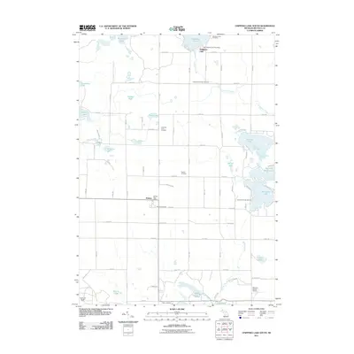
2011 Map of Chippewa Lake South
USGS Topo · Published 2011About this map
Rodney and the southern shores of Chippewa Lake anchor this landscape in central Michigan during the early 21st century. The map reveals a high concentration of burial sites reflecting the area's pioneer and agricultural roots, including the Kirschner Farm Cemetery, Martiny Cemetery, and Rodney Cemetery. The region is defined by its dense cluster of glacial water bodies, with major recreational and natural features such as Jehnsen Lake, Horsehead Lake, and Haymarsh Lakes providing a focal point for local geography and the Horsehead Lake Marina.
Find a feature on this map
51 named features on this map. Tap any name to fly to it.
Don’t see what you’re looking for? This feature index may not catch every label — zoom into the map to look around manually.
Map Details
Editions of this 2011 Chippewa Lake South Map
This is the sole edition of this map. No revisions or reprints were ever made.
Other maps of this area

1954 · Midland
USGS Topo · 1:250,000

1958 · Midland
USGS Topo · 1:250,000

1958 · Big Rapids
USGS Topo · 1:62,500

1959 · Midland
USGS Topo · 1:250,000

1959 · Lake
USGS Topo · 1:62,500

1959 · Evart
USGS Topo · 1:62,500

1964 · Mecosta NW
USGS Topo · 1:24,000

1964 · Mecosta
USGS Topo · 1:24,000

1966 · Midland
USGS Topo · 1:250,000

1976 · Big Rapids SE
USGS Topo · 1:24,000