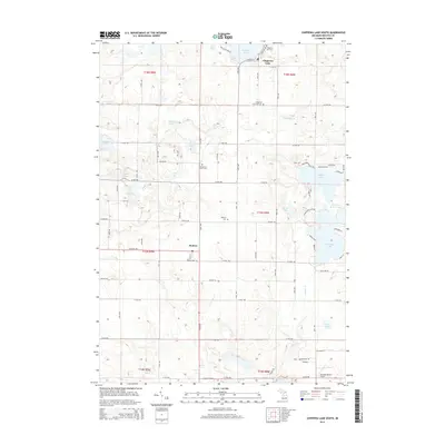
2014 Map of Chippewa Lake South
USGS Topo · Published 2014About this map
Chippewa Lake anchors the northern reaches of this Mecosta County landscape, serving as a focal point for local settlement and recreation. To the south, the community of Rodney is situated along the grid of 14 Mile Rd and McKinley Rd, reflecting the region's agricultural and rural residential character. The area is densely patterned with glacial lakes, including the large expanses of Horsehead Lake and Jehnsen Lake, which are bordered by established road networks like Lakeview Blvd and Brethren Heights Rd.
Find a feature on this map
61 named features on this map. Tap any name to fly to it.
Don’t see what you’re looking for? This feature index may not catch every label — zoom into the map to look around manually.
Map Details
Editions of this 2014 Chippewa Lake South Map
This is the sole edition of this map. No revisions or reprints were ever made.
Other maps of this area

1954 · Midland
USGS Topo · 1:250,000

1958 · Midland
USGS Topo · 1:250,000

1958 · Big Rapids
USGS Topo · 1:62,500

1959 · Midland
USGS Topo · 1:250,000

1959 · Lake
USGS Topo · 1:62,500

1959 · Evart
USGS Topo · 1:62,500

1964 · Mecosta NW
USGS Topo · 1:24,000

1964 · Mecosta
USGS Topo · 1:24,000

1966 · Midland
USGS Topo · 1:250,000

1976 · Big Rapids SE
USGS Topo · 1:24,000