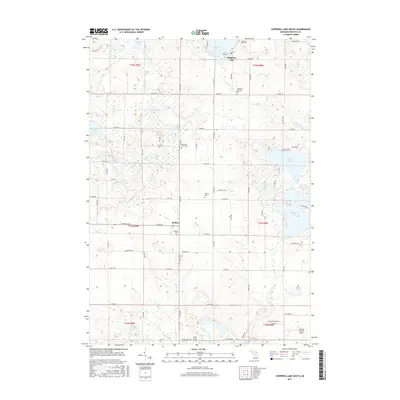
2017 Map of Chippewa Lake South
USGS Topo · Published 2017About this map
The glacial landscape of eastern Mecosta County is defined by a dense network of kettle lakes and wetlands, centered on the village of Chippewa Lake. This 2017 survey reveals a complex hydrological system where water bodies like Horsehead Lake, Jehnsen Lake, and the cluster of Haymarsh Lakes dominate the terrain. The settlement at Rodney serves as a secondary focal point, surrounded by evidence of the area's agricultural and social history. Genealogists will find several burial grounds preserved here, including the Chippewa Township Cem, Martiny Cem, and the uniquely named Kirschner Farm Cem. To the south, the landscape transitions toward the Mecosta Morton Airport, while the drainage of Chippewa Cr and Cole Cr illustrates the natural runoff patterns that have shaped the township's development and road grid, from 19 Mile Rd down to 11 Mile Rd.
Find a feature on this map
53 named features on this map. Tap any name to fly to it.
Don’t see what you’re looking for? This feature index may not catch every label — zoom into the map to look around manually.
Map Details
Editions of this 2017 Chippewa Lake South Map
This is the sole edition of this map. No revisions or reprints were ever made.
Other maps of this area

1954 · Midland
USGS Topo · 1:250,000

1958 · Midland
USGS Topo · 1:250,000

1958 · Big Rapids
USGS Topo · 1:62,500

1959 · Midland
USGS Topo · 1:250,000

1959 · Lake
USGS Topo · 1:62,500

1959 · Evart
USGS Topo · 1:62,500

1964 · Mecosta NW
USGS Topo · 1:24,000

1964 · Mecosta
USGS Topo · 1:24,000

1966 · Midland
USGS Topo · 1:250,000

1976 · Big Rapids SE
USGS Topo · 1:24,000