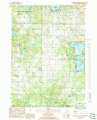
1985 Map of Chippewa Lake South
USGS Topo · Published 1985About this map
The glacial landscape of central Michigan is on full display in this mid-1980s record of Mecosta County, where a dense network of kettle lakes and wetlands defines the terrain. The settlement of Chippewa Lake sits at the northern edge, while the village of Rodney occupies a central position near a Cem and a legacy Old Railroad Grade that speaks to the region's earlier timber and transport history.
Find a feature on this map
33 named features on this map. Tap any name to fly to it.
Don’t see what you’re looking for? This feature index may not catch every label — zoom into the map to look around manually.
Map Details
Editions of this 1985 Chippewa Lake South Map
This is the sole edition of this map. No revisions or reprints were ever made.
Other maps of this area

1954 · Midland
USGS Topo · 1:250,000

1958 · Midland
USGS Topo · 1:250,000

1958 · Big Rapids
USGS Topo · 1:62,500

1959 · Midland
USGS Topo · 1:250,000

1959 · Lake
USGS Topo · 1:62,500

1959 · Evart
USGS Topo · 1:62,500

1964 · Mecosta NW
USGS Topo · 1:24,000

1964 · Mecosta
USGS Topo · 1:24,000

1966 · Midland
USGS Topo · 1:250,000

1976 · Big Rapids SE
USGS Topo · 1:24,000