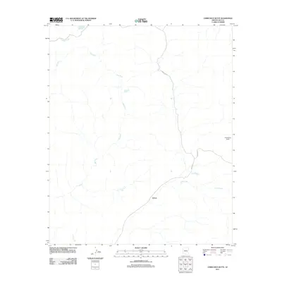
2011 Map of Chiricahua Butte
USGS Topo · Published 2011About this map
Dehorn serves as a primary reference point in this corner of Gila County, situated along a network of drainages and seasonal water sources. The landscape is defined by the winding course of the Blue River, which is fed by Blue River Spring and joined by several smaller tributaries including Pineasco Creek. The presence of scattered ranching or range improvements like Hospital Tank, Turkey Roost Tank, and Phillips Park Tank indicates a landscape managed for livestock in an arid environment.
Find a feature on this map
12 named features on this map. Tap any name to fly to it.
Don’t see what you’re looking for? This feature index may not catch every label — zoom into the map to look around manually.
Map Details
Editions of this 2011 Chiricahua Butte Map
This is the sole edition of this map. No revisions or reprints were ever made.
Other maps of this area

1954 · Mesa
USGS Topo · 1:250,000

1957 · Mesa
USGS Topo · 1:250,000

1958 · Mesa
USGS Topo · 1:250,000

1960 · Mesa
USGS Topo · 1:250,000

1964 · Mesa
USGS Topo · 1:250,000

1965 · Sontag Mesa
USGS Topo · 1:24,000
1966 · Bronco Gulch
USGS Topo · 1:24,000

1966 · Georges Butte
USGS Topo · 1:24,000
1966 · Ash Creek NE
USGS Topo · 1:24,000

1966 · Popcorn Canyon
USGS Topo · 1:24,000