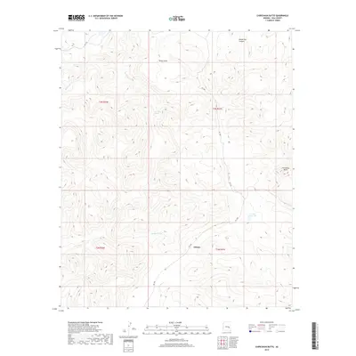
2018 Map of Chiricahua Butte
USGS Topo · Published 2018About this map
Dehorn and the surrounding high desert of Gila County are depicted in this 2018 survey, centered on the canyons and ridges of the Fort Apache Reservation. The landscape is defined by the winding course of the Blue River, which is fed by Blue River Spring and several drainage systems like Pineasco Cr and White Cow Canyon. The terrain rises sharply toward the namesake Chiricahua Butte in the east, a prominent landmark that overlooks the complex system of gulches and mesas.
Find a feature on this map
15 named features on this map. Tap any name to fly to it.
Don’t see what you’re looking for? This feature index may not catch every label — zoom into the map to look around manually.
Map Details
Editions of this 2018 Chiricahua Butte Map
This is the sole edition of this map. No revisions or reprints were ever made.
Other maps of this area
1954 · Mesa
USGS Topo · 1:250,000
1957 · Mesa
USGS Topo · 1:250,000
1958 · Mesa
USGS Topo · 1:250,000
1960 · Mesa
USGS Topo · 1:250,000
1964 · Mesa
USGS Topo · 1:250,000
1965 · Sontag Mesa
USGS Topo · 1:24,000
1966 · Bronco Gulch
USGS Topo · 1:24,000
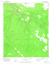
1966 · Georges Butte
USGS Topo · 1:24,000
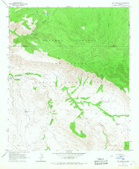
1966 · Ash Creek NE
USGS Topo · 1:24,000
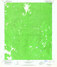
1966 · Popcorn Canyon
USGS Topo · 1:24,000