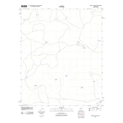
2010 Map of Chivata Canyon
USGS Topo · Published 2010About this map
Circle F Ranch stands as the primary namesake for human settlement in this high-desert landscape of Chaves County, where water management is the defining feature of the terrain. The map documents a network of livestock tanks and windmills essential for ranching in an arid environment, including Canal Tank, Cowboy Tank, and Camote Tank. These vital water sources are scattered among a complex system of drainage features like Chivata Canyon and Juan Largo Canyon. The reliance on mechanical infrastructure is evidenced by landmarks such as the North Windmill and Booster Windmill, which support the remote operations of the ranch. Winding county roads, such as County RD-B026 and County RD-F009, provide the only terrestrial links through this dissected plateau, connecting the various canyons and cattle tanks that define the local economy.
Find a feature on this map
24 named features on this map. Tap any name to fly to it.
Don’t see what you’re looking for? This feature index may not catch every label — zoom into the map to look around manually.
Map Details
Editions of this 2010 Chivata Canyon Map
This is the sole edition of this map. No revisions or reprints were ever made.
Other maps of this area

1954 · Fort Sumner
USGS Topo · 1:250,000

1955 · Roswell
USGS Topo · 1:250,000

1958 · Fort Sumner
USGS Topo · 1:250,000

1958 · Roswell
USGS Topo · 1:250,000

1962 · Roswell
USGS Topo · 1:250,000

1967 · Wire Lake
USGS Topo · 1:24,000

1967 · Round Mountain SE
USGS Topo · 1:24,000

1967 · North Lake
USGS Topo · 1:24,000

1967 · Round Mountain
USGS Topo · 1:24,000

1967 · Chivata Canyon
USGS Topo · 1:24,000