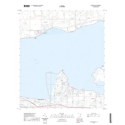
2021 Map of Choctaw Beach
USGS Topo · Published 2021About this map
Choctaw Beach and the southern peninsula of Miramar Beach define this coastal landscape along the Choctawhatchee Bay. The area is characterized by a complex network of wetlands and tidal inlets, where Horseshoe Bayou, Buck Bayou, and Mussett Bayou carve into the shoreline. These natural features are connected by the Intracoastal Waterway, which serves as a vital artery for maritime traffic through the region.
Find a feature on this map
86 named features on this map. Tap any name to fly to it.
Don’t see what you’re looking for? This feature index may not catch every label — zoom into the map to look around manually.
Map Details
Editions of this 2021 Choctaw Beach Map
This is the sole edition of this map. No revisions or reprints were ever made.
Other maps of this area
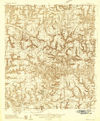
1934 · Niceville
USGS Topo · 1:48,000
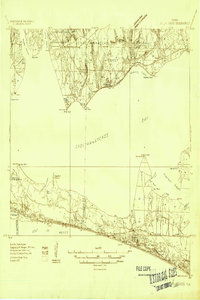
1935 · Villa Tasso
USGS Topo · 1:48,000
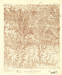
1935 · De Funiak Springs
USGS Topo · 1:48,000
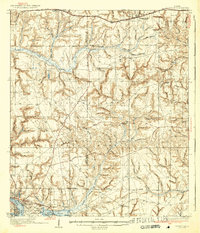
1936 · Niceville
USGS Topo · 1:62,500
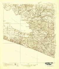
1936 · Point Washington
USGS Topo · 1:48,000
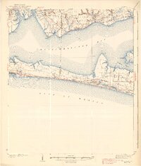
1938 · Villa Tasso
USGS Topo · 1:62,500
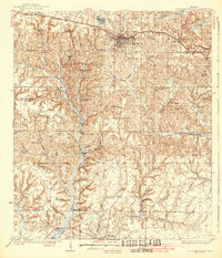
1938 · De Funiak Springs
USGS Topo · 1:62,500
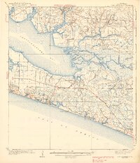
1939 · Point Washington
USGS Topo · 1:62,500
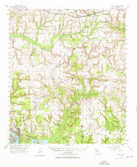
1956 · Niceville
USGS Topo · 1:62,500
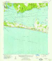
1956 · Villa Tasso
USGS Topo · 1:62,500