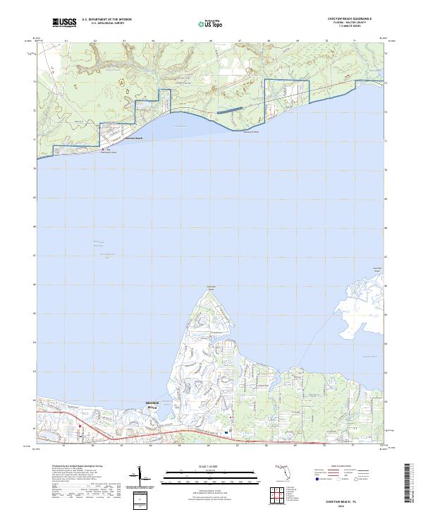
2024 Map of Choctaw Beach
USGS Topo · Published 2024About this map
Choctaw Beach occupies the northern shoreline of the Choctawhatchee Bay, a landscape defined by its intricate network of bayous and inlets. To the north, the presence of Eglin Air Force Base preserves a significant expanse of undeveloped land, where Piney Creek and Mullet Creek feed into coastal basins like Sharon Lake and Burgess Pond. This interface between military stewardship and maritime development creates a distinct boundary along Boundary Line Rd, separating organized grids of residential streets named for local flora—such as Magnolia St and Persimmon St—from the dense woodlands of the base.
Find a feature on this map
104 named features on this map. Tap any name to fly to it.
Don’t see what you’re looking for? This feature index may not catch every label — zoom into the map to look around manually.
Map Details
Editions of this 2024 Choctaw Beach Map
This is the sole edition of this map. No revisions or reprints were ever made.
Other maps of this area

1934 · Niceville
USGS Topo · 1:48,000

1935 · Villa Tasso
USGS Topo · 1:48,000

1935 · De Funiak Springs
USGS Topo · 1:48,000

1936 · Niceville
USGS Topo · 1:62,500

1936 · Point Washington
USGS Topo · 1:48,000

1938 · Villa Tasso
USGS Topo · 1:62,500

1938 · De Funiak Springs
USGS Topo · 1:62,500

1939 · Point Washington
USGS Topo · 1:62,500

1956 · Niceville
USGS Topo · 1:62,500

1956 · Villa Tasso
USGS Topo · 1:62,500