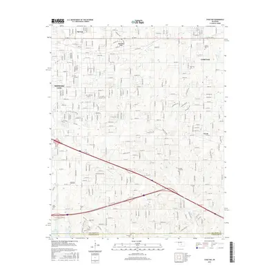
2016 Map of Choctaw
USGS Topo · Published 2016About this map
Choctaw and the eastern edge of Midwest City define this central Oklahoma landscape as it appeared in the mid-2010s. The map illustrates a transition from dense suburban development to more dispersed rural residential patterns, particularly around Nicoma Park and Woods. A high concentration of burial sites provides significant value for genealogists, with historic grounds like Choctaw Elmwood Cem and Saint Martins Cem scattered across the township lines.
Find a feature on this map
33 named features on this map. Tap any name to fly to it.
Don’t see what you’re looking for? This feature index may not catch every label — zoom into the map to look around manually.
Map Details
Editions of this 2016 Choctaw Map
This is the sole edition of this map. No revisions or reprints were ever made.
Other maps of this area

1892 · Moore
USGS Topo · 1:62,500

1892 · Edmond
USGS Topo · 1:62,500

1898 · Purcell
USGS Topo · 1:125,000

1909 · Luther
USGS Topo · 1:62,500

1930 · McLoud
USGS Topo · 1:62,500

1934 · Crutcho Creek
USGS Topo · 1:24,000

1934 · Moore
USGS Topo · 1:62,500

1935 · Spencer
USGS Topo · 1:24,000

1935 · Edmond
USGS Topo · 1:48,000

1938 · Moore
USGS Topo · 1:62,500