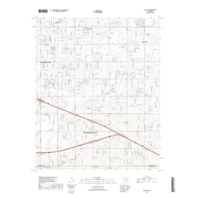
2018 Map of Choctaw
USGS Topo · Published 2018About this map
The expanding eastern reaches of Oklahoma City and the neighboring community of Midwest City characterize this digital-era survey. The map details the transition from established suburban centers like Spencer and Nicoma Park to the more open terrain surrounding Woods and the city of Choctaw. A notable concentration of cemeteries, including Elmwood Cem, Southview Cem, and Clearsprings Mishak Cem, provides significant data for genealogical research across the county line near the Oklahoma Co Cleveland Co border.
Find a feature on this map
39 named features on this map. Tap any name to fly to it.
Don’t see what you’re looking for? This feature index may not catch every label — zoom into the map to look around manually.
Map Details
Editions of this 2018 Choctaw Map
This is the sole edition of this map. No revisions or reprints were ever made.
Other maps of this area

1892 · Moore
USGS Topo · 1:62,500

1892 · Edmond
USGS Topo · 1:62,500

1898 · Purcell
USGS Topo · 1:125,000

1909 · Luther
USGS Topo · 1:62,500

1930 · McLoud
USGS Topo · 1:62,500

1934 · Crutcho Creek
USGS Topo · 1:24,000

1934 · Moore
USGS Topo · 1:62,500

1935 · Spencer
USGS Topo · 1:24,000

1935 · Edmond
USGS Topo · 1:48,000

1938 · Moore
USGS Topo · 1:62,500