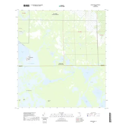
2018 Map of Chokoloskee
USGS Topo · Published 2018About this map
Chokoloskee Island stands as the primary hub of human settlement in this aquatic landscape, where the terrestrial world gives way to the labyrinthine mangroves of the Ten Thousand Islands. This 2018 survey illustrates the complex boundary between Big Cypress National Preserve and Everglades National Park, showcasing a region defined by its tidal flow and seasonal freshwater drainage. The network of winding channels, including the Wilderness Waterway and Lopez River, highlights the traditional water routes that have sustained the local fishing and maritime culture for generations.
Find a feature on this map
36 named features on this map. Tap any name to fly to it.
Don’t see what you’re looking for? This feature index may not catch every label — zoom into the map to look around manually.
Map Details
Editions of this 2018 Chokoloskee Map
This is the sole edition of this map. No revisions or reprints were ever made.
Other maps of this area
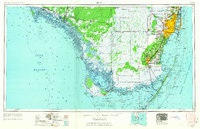
1956 · Miami
USGS Topo · 1:250,000
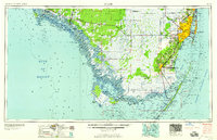
1958 · Miami
USGS Topo · 1:250,000
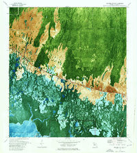
1972 · Weavers Station
USGS Topo · 1:24,000
1972 · Burns Lake
USGS Topo · 1:24,000
1972 · Ochopee
USGS Topo · 1:24,000
1973 · Gator Hook Swamp
USGS Topo · 1:24,000
1973 · Pavilion Key
USGS Topo · 1:24,000
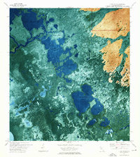
1973 · Alligator Bay
USGS Topo · 1:24,000
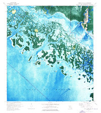
1974 · Everglades City
USGS Topo · 1:24,000
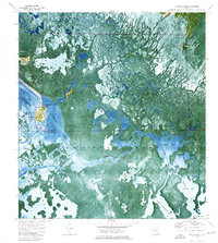
1974 · Chokoloskee
USGS Topo · 1:24,000