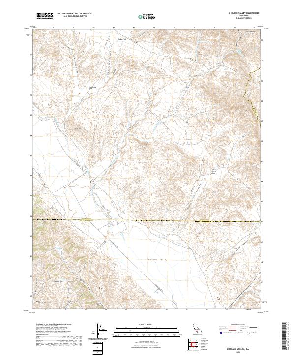
2021 Map of Cholame Valley
USGS Topo · Published 2021About this map
Cholame Valley serves as the central corridor of this California landscape, straddling the border where Monterey and San Luis Obispo counties meet. This modern survey illustrates a rugged ranching and drainage network defined by Cholame Cr and the heights of the Diablo Range. The terrain transitions from the high peaks in the northeast down into broad alluvial features like Turkey Flat and Stone Corral Flats, revealing how the topography dictates the sparse road network.
Find a feature on this map
31 named features on this map. Tap any name to fly to it.
Don’t see what you’re looking for? This feature index may not catch every label — zoom into the map to look around manually.
Map Details
Editions of this 2021 Cholame Valley Map
This is the sole edition of this map. No revisions or reprints were ever made.
Other maps of this area

1914 · Cholame
USGS Topo · 1:125,000

1915 · Cholame
USGS Topo · 1:125,000

1917 · Cholame
USGS Topo · 1:125,000

1934 · The Dark Hole
USGS Topo · 1:31,680

1934 · Reef Ridge
USGS Topo · 1:31,680
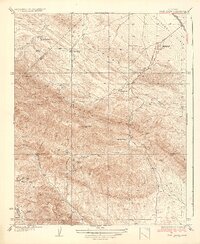
1937 · Reef Ridge
USGS Topo · 1:31,680
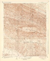
1937 · The Dark Hole
USGS Topo · 1:31,680

1942 · Parkfield
USGS Topo · 1:24,000

1942 · Tent Hills
USGS Topo · 1:24,000

1943 · Shandon
USGS Topo · 1:31,680