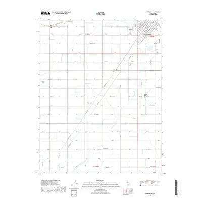
2018 Map of Chowchilla
USGS Topo · Published 2018About this map
Chowchilla serves as the primary urban hub on this Central Valley survey, defined by its rigid grid of residential streets and the heavy influence of the railroad. The town's layout, featuring streets like Ventura Ave and Monterey Ave, transitions abruptly into an expansive agricultural landscape to the south and west. This surrounding terrain in the San Joaquin Valley is shaped entirely by water management, with a complex network of man-made irrigation channels including the Justin Canal, Bethel Canal, and Califa Canal.
Find a feature on this map
87 named features on this map. Tap any name to fly to it.
Don’t see what you’re looking for? This feature index may not catch every label — zoom into the map to look around manually.
Map Details
Editions of this 2018 Chowchilla Map
This is the sole edition of this map. No revisions or reprints were ever made.
Other maps of this area
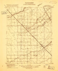
1916 · Berenda
USGS Topo · 1:31,680
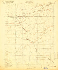
1918 · Bliss Ranch
USGS Topo · 1:31,680
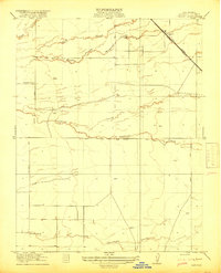
1918 · Lingard
USGS Topo · 1:31,680
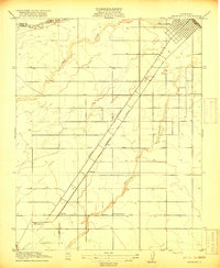
1918 · Chowchilla
USGS Topo · 1:31,680
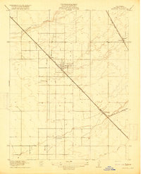
1918 · Berenda
USGS Topo · 1:31,680
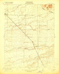
1918 · La Grand
USGS Topo · 1:31,680
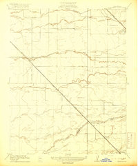
1919 · Plainsberg
USGS Topo · 1:31,680
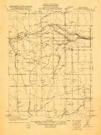
1920 · Bonita Ranch
USGS Topo · 1:31,680
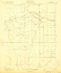
1921 · Bonita Ranch
USGS Topo · 1:31,680
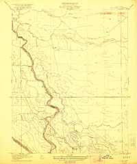
1922 · Pozo Farm
USGS Topo · 1:31,680