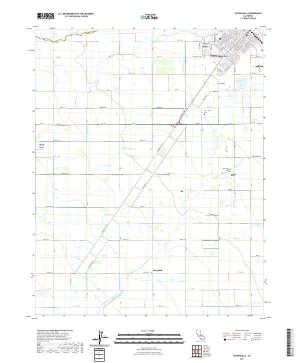
2021 Map of Chowchilla
USGS Topo · Published 2021About this map
Chowchilla serves as the primary urban center in this portion of the San Joaquin Valley, characterized by a dense grid of streets like Ventura Ave and Riverside Ave alongside the active Railroad Dr corridor. The surrounding landscape in Madera Co is defined by a sophisticated water management network essential for regional agriculture, featuring the Chowchilla River and an extensive system of man-made waterways. Genealogists and local historians can trace the paths of the Justin Canal, Ashview Canal, and numerous irrigation branches such as the Bethel Lateral and Dairyland Lateral. South of the main township, the small community of Dairyland and the Chowchilla Cem stand as markers of local settlement history. The presence of Chapman Farms Airport further illustrates the intersection of aviation and industrial farming in the Central Valley.
Find a feature on this map
87 named features on this map. Tap any name to fly to it.
Don’t see what you’re looking for? This feature index may not catch every label — zoom into the map to look around manually.
Map Details
Editions of this 2021 Chowchilla Map
This is the sole edition of this map. No revisions or reprints were ever made.
Other maps of this area

1916 · Berenda
USGS Topo · 1:31,680

1918 · Bliss Ranch
USGS Topo · 1:31,680

1918 · Lingard
USGS Topo · 1:31,680

1918 · Chowchilla
USGS Topo · 1:31,680

1918 · Berenda
USGS Topo · 1:31,680

1918 · La Grand
USGS Topo · 1:31,680

1919 · Plainsberg
USGS Topo · 1:31,680

1920 · Bonita Ranch
USGS Topo · 1:31,680

1921 · Bonita Ranch
USGS Topo · 1:31,680

1922 · Pozo Farm
USGS Topo · 1:31,680