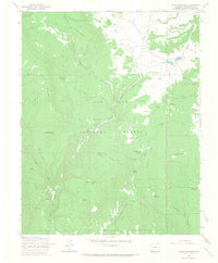
1964 Map of Chris Mountain
USGS Topo · Published 1967About this map
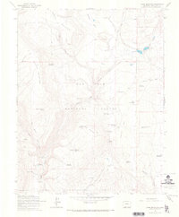
San Juan National Forest defines the rugged verticality of this mid-1960s survey, where the landscape is organized around timber management and livestock transit. The high ground of Chris Mountain and Corral Mountain is dissected by deep drainage patterns like Dunagan Canyon and Devil Creek. This era of Forest Service oversight is anchored by the Turkey Springs Guard Station and the adjacent Turkey Springs Campground, reflecting a transition toward recreational land use alongside traditional ranching.
Find a feature on this map
38 named features on this map. Tap any name to fly to it.
Don’t see what you’re looking for? This feature index may not catch every label — zoom into the map to look around manually.
Map Details
Editions of this 1964 Chris Mountain Map
5 editions found
Other maps of this area

1924 · Pagosa Springs
USGS Topo · 1:125,000

1927 · Pagosa Springs
USGS Topo · 1:125,000

1945 · Durango
USGS Topo · 1:250,000

1953 · Durango
USGS Topo · 1:250,000

1954 · Durango
USGS Topo · 1:250,000

1957 · Pagosa Junction
USGS Topo · 1:62,500

1961 · Durango
USGS Topo · 1:250,000

1963 · Durango
USGS Topo · 1:250,000
1964 · Chris Mountain
USGS Topo · 1:24,000
1964 · Pagosa Springs
USGS Topo · 1:24,000