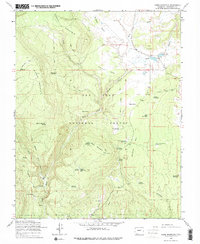
1964 Map of Chris Mountain
USGS Topo · Published 1975About this map
San Juan National Forest defines the landscape of this high-elevation Colorado survey, where ranching and forest management intersect in the mid-1960s. The presence of the Turkey Springs Guard Station and the Turkey Springs Campground indicates a region organized for active timber and recreation oversight. Water management is central to the area's utility, evidenced by a series of named reservoirs including Osborn Reservoir No 1, Osborn Reservoir No 2, and Sawmill Reservoir, which likely supported local livestock and industrial needs.
Find a feature on this map
43 named features on this map. Tap any name to fly to it.
Don’t see what you’re looking for? This feature index may not catch every label — zoom into the map to look around manually.
Map Details
Editions of this 1964 Chris Mountain Map
5 editions found
Other maps of this area

1924 · Pagosa Springs
USGS Topo · 1:125,000

1927 · Pagosa Springs
USGS Topo · 1:125,000

1945 · Durango
USGS Topo · 1:250,000

1953 · Durango
USGS Topo · 1:250,000

1954 · Durango
USGS Topo · 1:250,000

1957 · Pagosa Junction
USGS Topo · 1:62,500

1961 · Durango
USGS Topo · 1:250,000

1963 · Durango
USGS Topo · 1:250,000
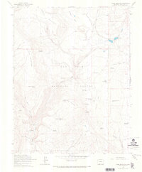
1964 · Chris Mountain
USGS Topo · 1:24,000
1964 · Pagosa Springs
USGS Topo · 1:24,000