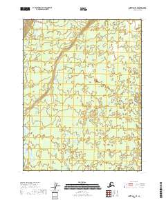
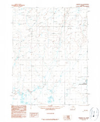
2018 Map of Christian A-4 SE
USGS Topo · Published 2018About this map
Yukon Flats dominates this interior landscape, where the meandering path of the Christian River cuts through the eastern portion of the quadrangle. The terrain is characterized by the complex hydrology of the floodplains, featuring numerous small unnamed ponds and wetlands that define this part of the Yukon-Koyukuk region. In the northwest corner, Marten Cr flows through a landscape marked by subtle elevation changes, as indicated by the 10-foot contour intervals. This survey illustrates a remote section of Alaska where the natural drainage patterns of the river systems remain the primary geographic features, largely undisturbed by road networks or permanent settlements.
Find a feature on this map
9 named features on this map. Tap any name to fly to it.
Don’t see what you’re looking for? This feature index may not catch every label — zoom into the map to look around manually.
Map Details
Editions of this 2018 Christian A-4 SE Map
This is the sole edition of this map. No revisions or reprints were ever made.
Other maps of this area

1951 · Fort Yukon
USGS Topo · 1:250,000

1951 · Christian
USGS Topo · 1:250,000

1955 · Fort Yukon D-3
USGS Topo · 1:63,360

1955 · Fort Yukon D-4
USGS Topo · 1:63,360

1956 · Christian
USGS Topo · 1:250,000

1956 · Fort Yukon
USGS Topo · 1:250,000
1956 · Fort Yukon D-3
USGS Topo · 1:63,360
1956 · Fort Yukon D-4
USGS Topo · 1:63,360
1990 · Christian A-3
USGS Topo · 1:63,360
1990 · Christian A-4
USGS Topo · 1:63,360