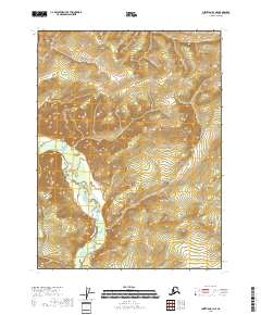
2018 Map of Christian B-3 NE
USGS Topo · Published 2018About this map
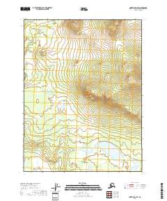
Christian River defines the central topography of this subarctic landscape in the Yukon-Koyukuk Census Area. This 2018 survey shows the river winding through the western portion of the quadrangle, illustrating the complex drainage patterns of the Alaskan interior. The map focuses on the high-elevation terrain within the boundaries of t31n r11e, t31n r12e, t30n r11e, and t30n r12e. Without roads or settlements, the map provides a clear look at the natural contour intervals and the hydrological path of the Christian River as it passes through this remote region. For those studying the geography of Northern Alaska, it offers a contemporary view of the land's relief and primary water features.
Find a feature on this map
5 named features on this map. Tap any name to fly to it.
Don’t see what you’re looking for? This feature index may not catch every label — zoom into the map to look around manually.
Map Details
Editions of this 2018 Christian B-3 NE Map
This is the sole edition of this map. No revisions or reprints were ever made.
Other maps of this area

1951 · Christian
USGS Topo · 1:250,000

1956 · Christian
USGS Topo · 1:250,000
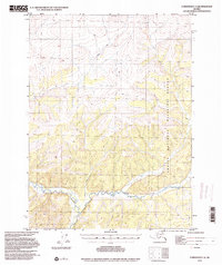
1972 · Christian C-3
USGS Topo · 1:63,360
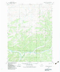
1983 · Christian C-3
USGS Topo · 1:63,360
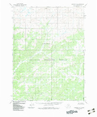
1983 · Christian C-2
USGS Topo · 1:63,360
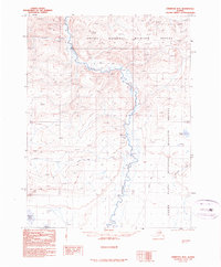
1990 · Christian B-3
USGS Topo · 1:63,360
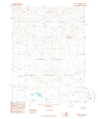
1990 · Christian B-2
USGS Topo · 1:63,360
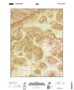
2018 · Christian B-2 NW
USGS Topo · 1:25,000
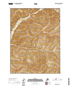
2018 · Christian C-2 SW
USGS Topo · 1:25,000
2018 · Christian B-2 SW
USGS Topo · 1:25,000