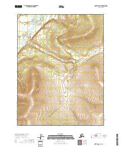
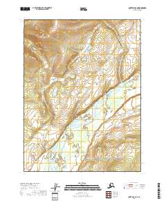
2018 Map of Christian B-6 SE
USGS Topo · Published 2018About this map
East Fork Chandalar River winds through the northwestern corner of this remote Alaskan interior landscape, carving a valley floor that stands in sharp contrast to the surrounding high ground. The terrain is defined by dramatic elevation changes, with the river system providing the primary geographical landmark in a region otherwise characterized by its undeveloped expanse. This 2018 survey detail illustrates the intersection of several townships, including t29n r5e, t30n r4e, and t28n r5e, tracing the natural drainage patterns that flow toward the East Fork Chandalar River valley. While the map is devoid of named settlements or man-made structures, it offers a high-resolution view of the landforms and hydrography within the Yukon-Koyukuk Census Area during the early twenty-first century.
Find a feature on this map
8 named features on this map. Tap any name to fly to it.
Don’t see what you’re looking for? This feature index may not catch every label — zoom into the map to look around manually.
Map Details
Editions of this 2018 Christian B-6 SE Map
This is the sole edition of this map. No revisions or reprints were ever made.
Other maps of this area

1951 · Christian
USGS Topo · 1:250,000

1956 · Christian
USGS Topo · 1:250,000
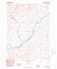
1990 · Christian B-6
USGS Topo · 1:63,360
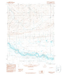
1990 · Christian A-6
USGS Topo · 1:63,360
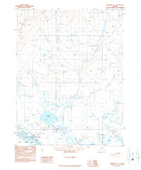
1990 · Christian A-5
USGS Topo · 1:63,360
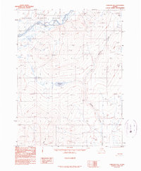
1990 · Christian B-5
USGS Topo · 1:63,360
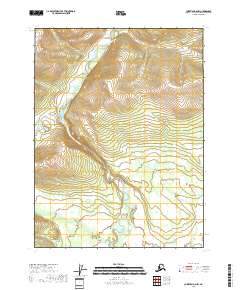
2018 · Christian B-6 NW
USGS Topo · 1:25,000
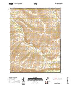
2018 · Christian A-6 NW
USGS Topo · 1:25,000
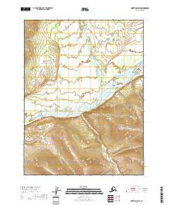
2018 · Christian B-6 SW
USGS Topo · 1:25,000
2018 · Christian B-6 NE
USGS Topo · 1:25,000